Sparrowhawk Spur and Colenso Spur, Ruahine Forest Park, Map BK37 and BK36. Sunday/Monday November 16/17, 2014
We started early, as the plan was to walk up Colenso Spur and across the tops to overnight in Sparrowhawk Bivvy. The 100kmh winds put paid to that plan, but the weather forecast was for the winds to be easing later on Sunday.
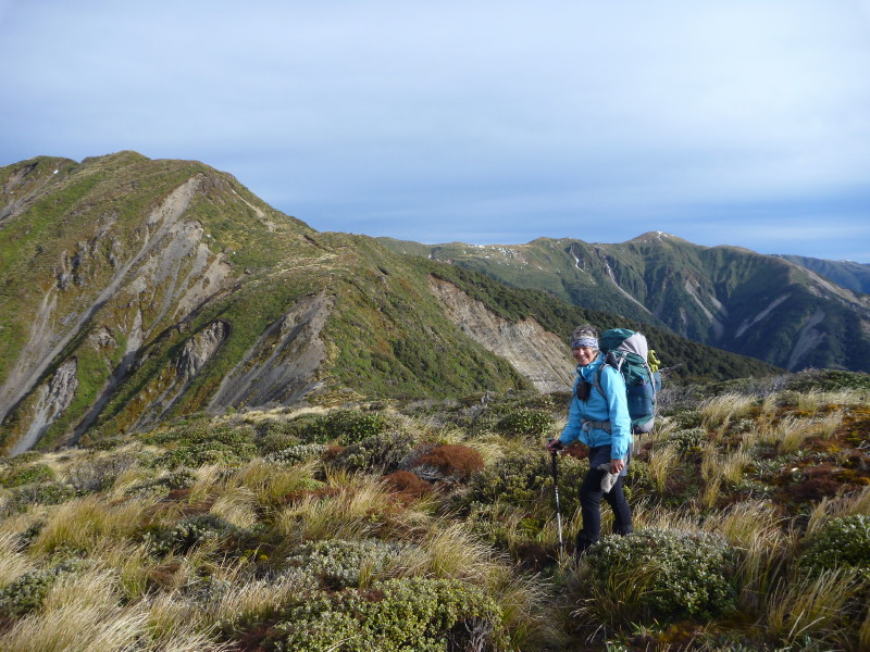
We crossed the farm and started up Sparrowhawk Spur; the track time noted by the DoC sign is 3.5 hours. We went steadily up, with the track having been recently (in the last year) cleared up to a certain point. The wind howled above us and we were happy to be in the bush. For a brief moment we were near the top, a few steps across an open area, and then back into the bush. The climb up by the slip right on the edge looks dodgy, but really is no problem. Just at the top, the last step across open air, and then you are back into the scrub, just 15 minutes away from the bivvy. We arrived having achieved our climb in 3 hours. Well done, Les.
It was evident that we were not going to get across the tops today, so we made camp and had a hot brew, contemplating what to do next.
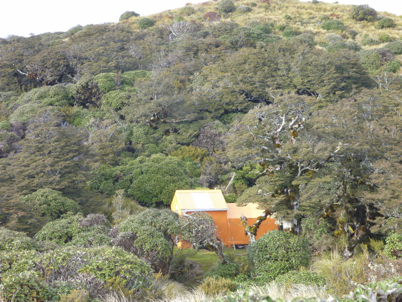
Sparrowhawk Bivvy, taken from the Helipad
The wind blew out overnight and the morning was reasonably calm. We stuck with our plan to go across to Te-Atua-o-Mahuru, and check out the sign that we had helped put up to direct trampers down Remutupo Stream to Colenso Hut from the tops.
On reaching the tops above Sparrowhawk, we had clear views of Ruapehu and Ngauruhoe, but it looked like it was not brilliant weather over in the west. We also had clear views of the Hawke’s Bay farmland and the tops north.
The tarns are full, and tiny patches of snow remained here and there. John’s sign was gone, but the beech pole remained, with two orange small triangles nailed to it. We did not look to see if the orange markers further down the slope were still there. If you were savvy enough, you would be able to make an educated guess as to what the markers indicated.
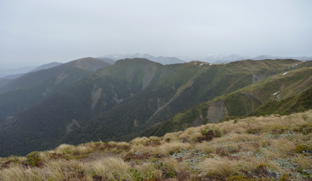
We sidled around the top of Te-Atua-o-Mahuru, and got onto the Colenso Spur track. The wind had picked up and a rain/hail squall was passing through. We still took time to duck out of the wind and take a long look back towards Sparrowhawk Spur. The bivvy is not visible, but the slip which you climb next to the edge is clear.
The view west looked cold and snowy
A hot brew and a good break, and we had to walk out down the Makaroro River – soon to be dammed, but maybe not; the jury is still out on this. The water was running faster than I have ever seen, but we were both capable. Two hours saw us at the Gold Creek junction, and the last 30 minutes over farmland, with the look back at the tops.
It is a good feeling to get the wet boots off. We said hi to farmer Lorraine, and thanked her. A great tramp, and we were pleased to have got out in the wild gale-force weather window. Lucky trampers.
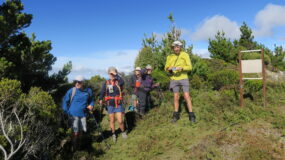
Trampers: Les O’Shea and reporter Julia Mackie

Leave a Reply