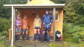
Hinerua Hut, Wednesday May 25 2011. Map: BL36 Blustery winds and cloud greeted 11 members at the Oakley farm airstrip, a very long and winding drive off Hinerua Road. A steep ascent was made along the farm road, starting from the old fertiliser holder, then passing the resident house, and finally we exited the farm… [Read More]
Archives for May 2011
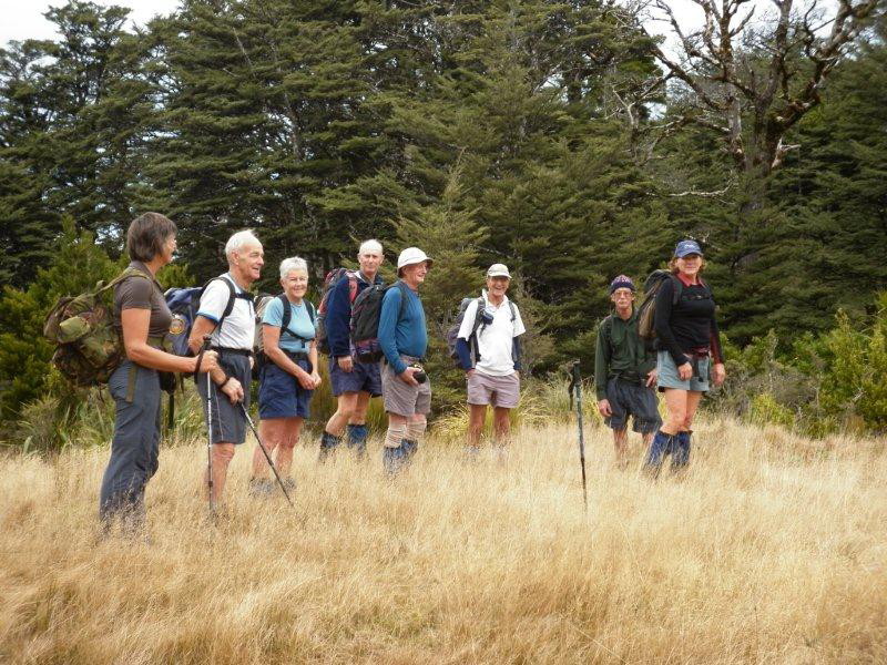
A fantastic tramp in new territory to Kiwi Mouth
Kiwi Mouth Hut, Sat/Sun May 21/22 2011. Map BJ37 We’ve gazed at Back Ridge from the opposite ridge when walking the Kiwi Saddle – Castle Camp – Kaiarahi circuit. Now, thanks to Ted’s suggestion, we are walking some new tracks. Thanks to Brian for dropping us off at Makahu Saddle, we start the weekend on… [Read More]
Track spotting at Kiwi Saddle
Kiwi Saddle Hut day trip Saturday, May 21 2011. Map BJ37 A full van left for the Lakes car park and the trip up the Taihape Road was uneventful, now that it is tar-sealed for most of the way. We made the steady climb up to the radio mast on Kuripaponga, with good views all… [Read More]
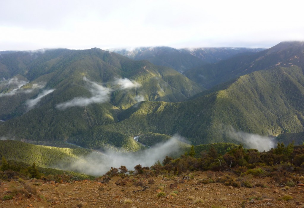
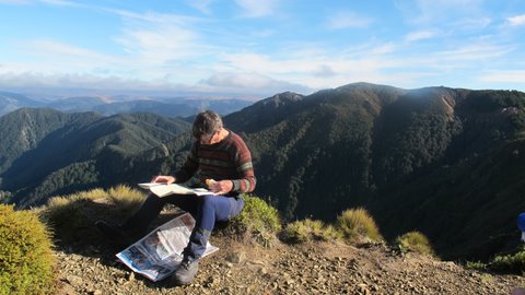
Moorcock Saddle – and GPS training
Moorcock Saddle – Daphne Ridge, Wednesday May 11 2011 Map: BL36 Norsewood Napier was shrouded in fog, and the strange sound of what seemed to be a ship’s fog horn woke many in the early hours. The further south along Highway 50 we drove, the better the day became and by the time Kelvin had… [Read More]
Nearly blue sky
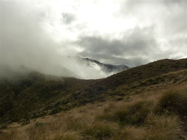
Southern Ruahine Crossing, Saturday, May 7 2011. Maps: BL35 / BM35 / BM36 Nine members gathered at EIT and got away on time, heading for the Pohangina Valley on the western side of the Ruahines. Unfortunately, two members had already withdrawn on the strength of a wet weather forecast. Sure, the forecast wasn’t great, but… [Read More]