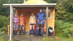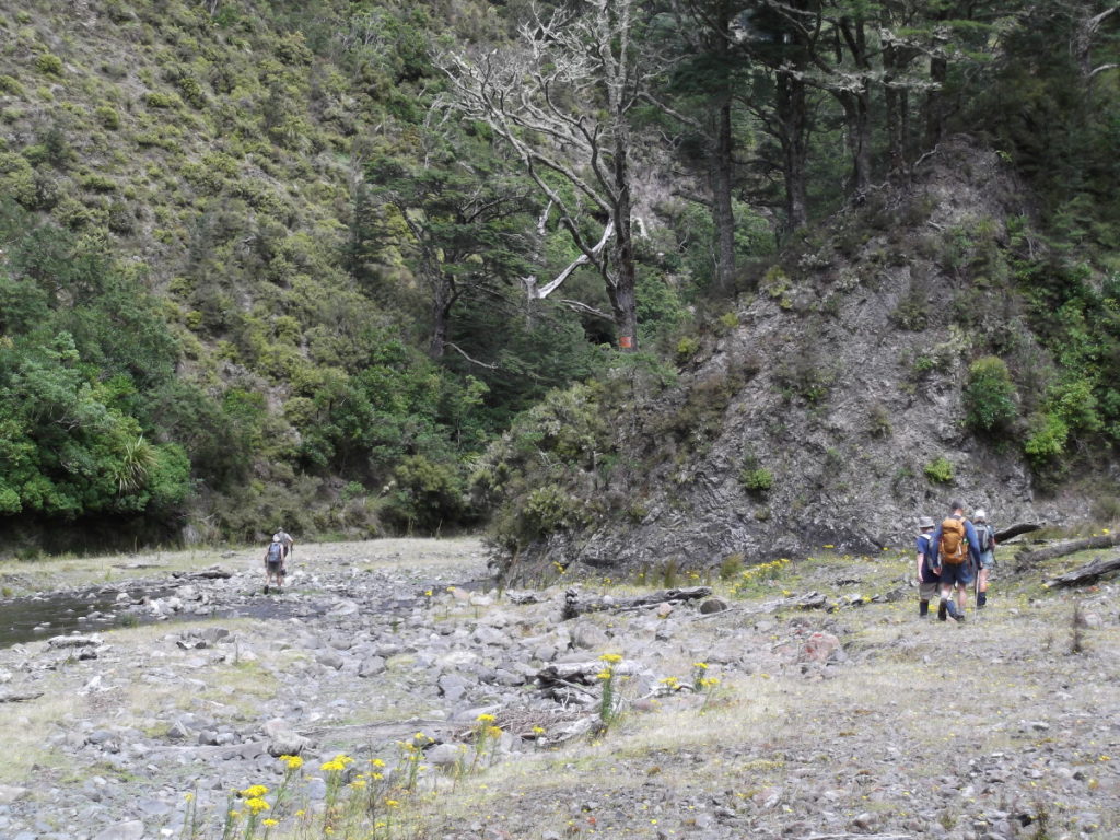
Apiti Track – Mangatewainui River, Ruahine FP, 15 February 2017. Map: BL36 Photos: Marie Deroles Banner Photo: The Managatewainui Stream A vanload of 11 intrepid trampers left Napier on what was a cloudy day (hopefully promising rain on its way). We arrived at the DoC car park near the end of Ngamoko Road after a… [Read More]
Archives for February 2017
February 2017 News
Contents: Ruahine User Group Meeting; NTC Committee Meeting The next meeting of the Ruahine User Group is on Monday, February 20, 2017. lt will be held in Palmerston North at the DoC offices. Julia Mackie will be attending on behalf of the club. She will report back to the NTC and the minutes of the… [Read More]
Out of the mist they rose
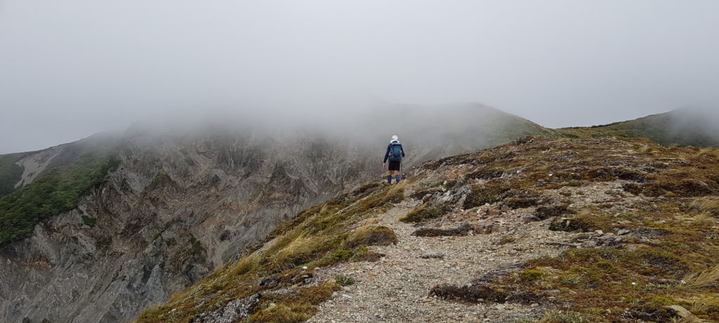
Sunrise Hut – Armstrong Saddle – Sparrowhawk track, Ruahine FP, Saturday 11 February 2017 Map: BK36 Banner photo: Heading up to Armstrong Saddle. It was supposed to be a fantastic weather day for tramping. The aim for the majority of the group was to reach the top of the Ruahines from Sunrise Hut and travel… [Read More]
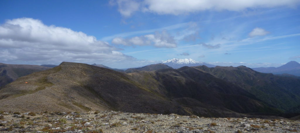
Ruapehu and Ngauruhoe seen from the Kaimanawa Ranges
A better effort than last time …
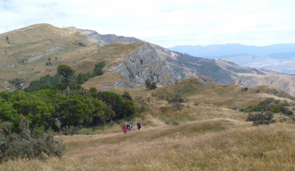
Maungaharuru Range, Northern Hawke’s Bay, Wednesday 1 February 2017. Maps: BJ38, BH38 and BH39. We split into two groups; one set off from Titiokura summit on SH5, while the other drove around to walk up to Galbraith Hut from the farm and return to move the van to Pohukura Road. We had permission from the… [Read More]