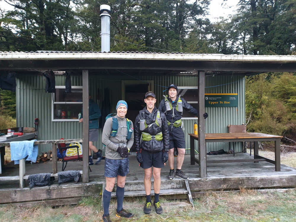
Upper Te Hoe Hut, Whirinaki FP, Sat/Sun 24/25 August 2019. Map BG38
Banner Pix: Sidling through the bush
We watched the temperature gauge plummet as we left the Napier/Taupo road and headed along the potholes to our first stop, Plateau car park, from where Julia was to start her six- or seven-hour tramp via the Upper Whirinaki track to Upper Te Hoe Hut.
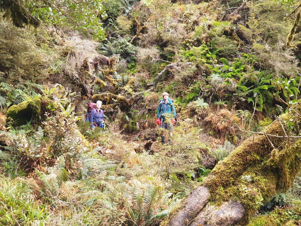
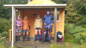
The rest of us (six in total) were headed to Upper Te Hoe Hut on the track from Pukahunui Road end. The signposted time is four hours.
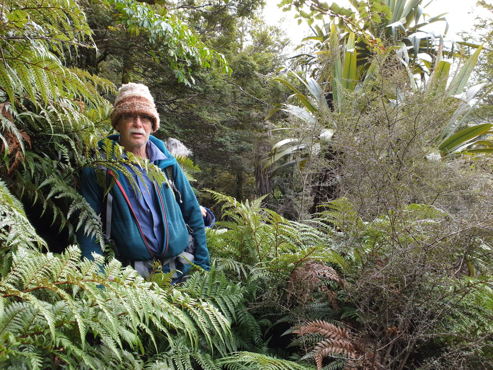
Simon in amongst the fern track
At the helipad heading into the hut
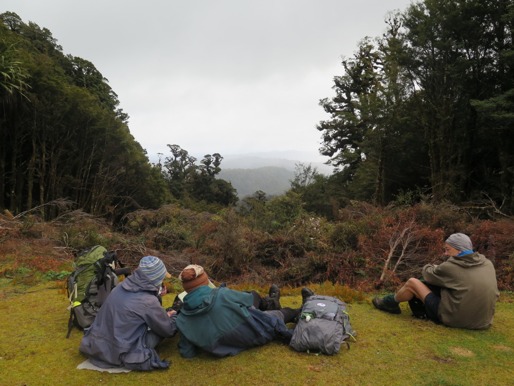
The junction to Upper Whirinaki track marks the two-hour (halfway) point. We continued on for another hour, sidling through stunning bush, before the descent to the hut and the Te Hoe River. The sun shone brightly at the hut so, after bunk-bagging, we sat outside until sunlight faded.
The runners
Two of the guys were firemen and when we asked if they’d like to take over fire duties, they said their jobs were to put them out, not make them. We were up to 10 (when Julia arrived) in a nine-bunk hut, but two trampers graciously offered to top-and-tail so everyone had a mattress or part thereof.
To our relief, Julia rocked up at 5.30 but it had been a very demanding tramp and she was pretty shattered – and that’s for another report. After dinner, we sat round chatting until cold and tiredness had us retreating to our sleeping bags.
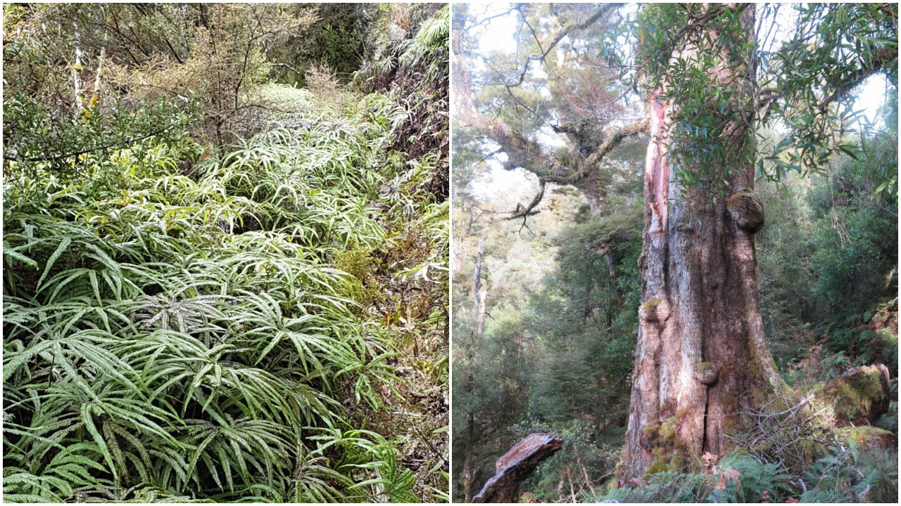
The mature trees and umbrella ferns
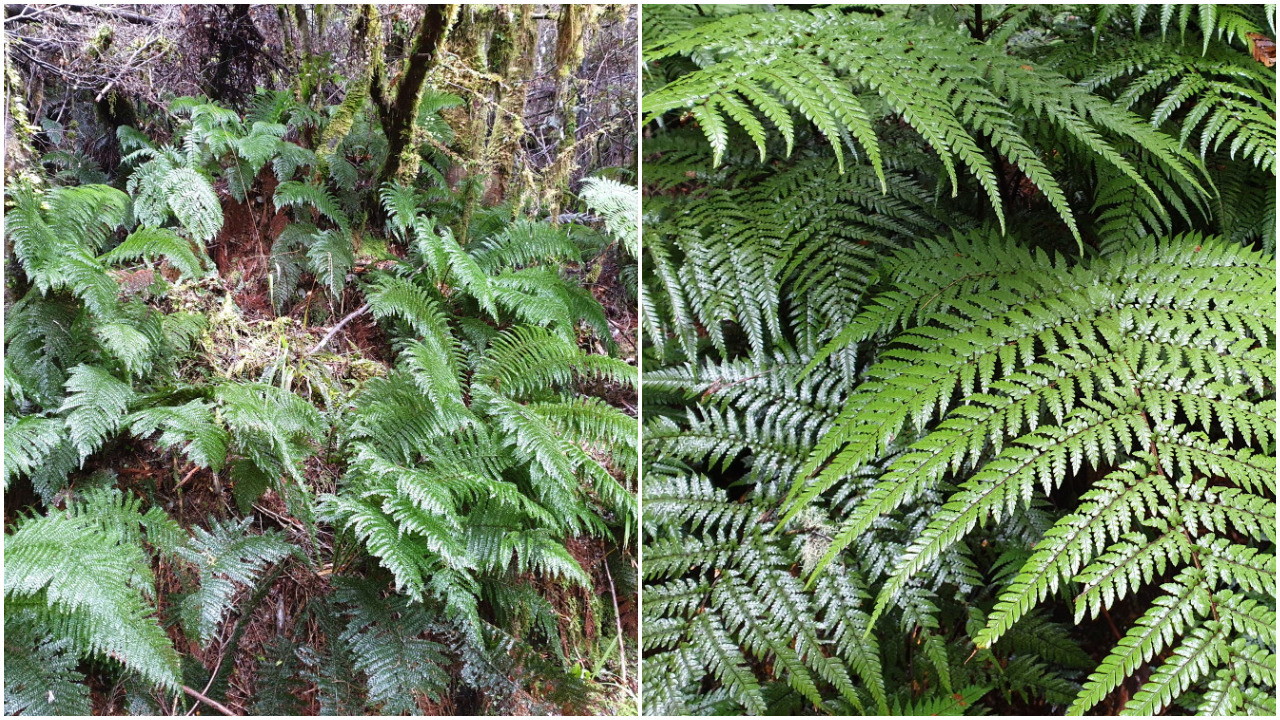
The fern fest
On the way home, there was a stop at the Tarawera cafe for a hot drink, then it was onward to a balmy 17 degrees in Napier.
Many thanks to our drivers, Simon and Bruce, and to tramp organiser Julia who had sussed out the roads and track a few weeks earlier. She even put pink markers on the route so we didn’t lose our way.
Trampers: Dorothy Sole, Bruce Hodgson, Mark Jenkins, Fiona Chiverrell and reporters Marie Deroles and Simon Hill, with Julia Mackie taking the long route
Julia’s tramp report
Plateau Road end to Upper Te Hoe Hut, via Upper Whirinaki Hut.
This turned out to be more challenging than expected. Leaving Plateau Road-end at 9am, I headed into the Whirinaki Forest Park on a cool morning, arriving at Upper Whirinaki Hut in 1.5 hrs for a welcome break.
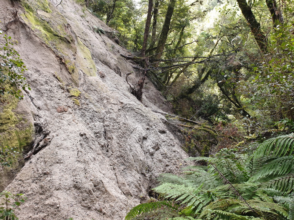
The recent slip on the Whirinaki River track
After a while, I was getting fed up with the sound of the river and looking forward to the climb. But I reached a point where I could not find the track continuing along the river. Maybe it drops into the river? I checked this out, noticing that there was a lot of tree fall in the river upstream and no sign of the track. As it was running so swiftly, I decided to head uphill and then bisect the track again when it turned upwards (see diagram).
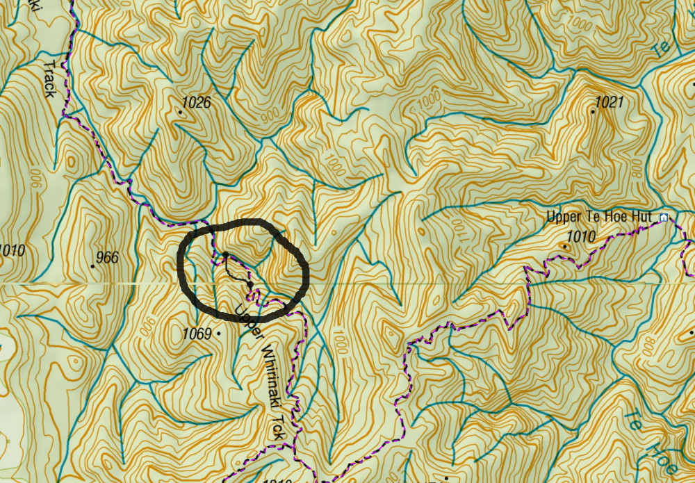
The diversion off-track
As planned, I bisected the track, and gave myself three cheers. Now just the uphill slog to the junction. I reached it at 4pm, and knowing it was downhill from here, I could cruise along at speed.
I reached the hut at 5.30, having taken six and a half hours from Upper Whirinaki Hut. This was exactly as noted on the DoC website when describing the Te Pua-a-Tane Circuit.
Time for some refreshments and bed.

Hey Julia did you mark your diversion with the yellow tape you were carrying? HaHa. RP