Opawe Road to Kumeti Road, West-to-East Ruahine crossing
Saturday, November 1 2014. Map BLK35, BL 36
We had a full vanload and a good weather forecast. The start of the walk is over farmland, which is poled and marked. On the bushline stands the Ruahine Forest Park sign and from there it’s a climb through bush. Yes, I did see the impressive rata tree, which is mentioned in the DoC info. It had some vines around it, and looked to be a giant amongst the smaller trees. After one hour’s tramping, you get a glimpse of the high point Maharahara (1095) and the track leading up to it.
I saw big deer prints and realised that I must have disturbed an animal. Les, who was lucky to be behind me but still some distance, came upon it on the track – with the big animal no more than 10 metres away. It did not bolt immediately, so he got a good look at her.
From the glimpse, after another 50 minutes you are at the signposted high point. Time to get the light shower-proof jacket on, and head gear. The sky looked very dark, and the wind was intense.
The next high point can be seen in the distance, so after a break, Les and I kept going. Kiritaki hut is seen on another ridge on the western side. It looked very bright and must have had a recent paint.
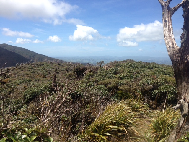
The view west from Maharahara high point
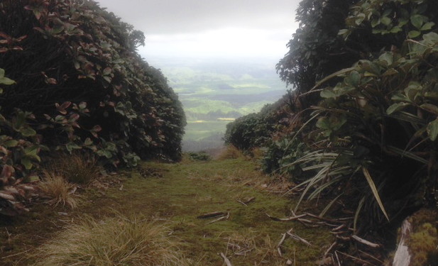
Just short of the last climb to the Kiritaki Hut junction, we stopped for our lunch break. Dannevirke could be glimpsed on the eastern side, above the leatherwood. The wind continued to blow and the noise was constant, but the track is sheltered by the leatherwood.
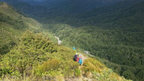
After reaching the Kiritaki turn-off, it is all downhill; the sun came out and the sky turned blue. We were out of the windy weather pattern, and it was a very pleasant walk along the ridge. The western slopes looked like they were stunted, with horopito and low-growing scrub. The colour of the leaves, with their orange tints, is very different from green bush.
On the way down the ridge, we noted the miro trees which were poking their heads above the scrub. We guessed they were about 30 years old.
The track finally descends to Mangapuaka Stream. We got blown back to the van, with strong winds again. The spray from the stream crossings was warm. We were glad to finally get out of the wind and all made the safe drive back to Napier. It was a great walk, and our thanks to Ted, Paul and John for bringing the van around to pick us up. They had a walk around Totara Reserve on the Pohangina East Road, and Ted and Paul had climbed up the eastern side to meet us on our descent.
A refreshing day, with great views west and east from the tops.
Trampers: Ted Angove, Les O’Shea, Paul Exeter, Gordon Tapp, Juliet Gillick, Graeme Taylor, Sue Martin, Alison Greer, Geoff Donkin, Ali Hollington, John Marshall, and reporter Julia Mackie

Leave a Reply