Te Atuaoparapara, Ruahine FP, Saturday 28 November 2020. Map BK36
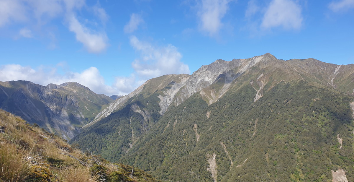
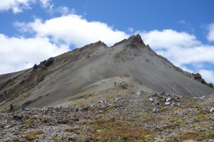
Banner Photo: Te Atuaoparapara with Waipawa Saddle on the left
There were just eight on this tramp, and seven of us doing the loop. Why so few? Perhaps it was the ‘eight hours’ in the tramp description, perhaps it was nerves about the scree slope; whatever the reason, it was still a fine day to be out and face the challenges.
The tramp started at 8.30am from the Sunrise Hut car park. The warm-up was up to the hut, and from there the adventure began. ‘Holey Moley’, I heard, when we pointed out where we were going. The sky was almost cloudless, with only a slight wind.
When heading up past Armstrong Saddle, there are views north to Te Atua Mahuru and the route to Sparrowhawk Biv, the ridgeline with the track down to Maropea Forks Hut. It’s big country.
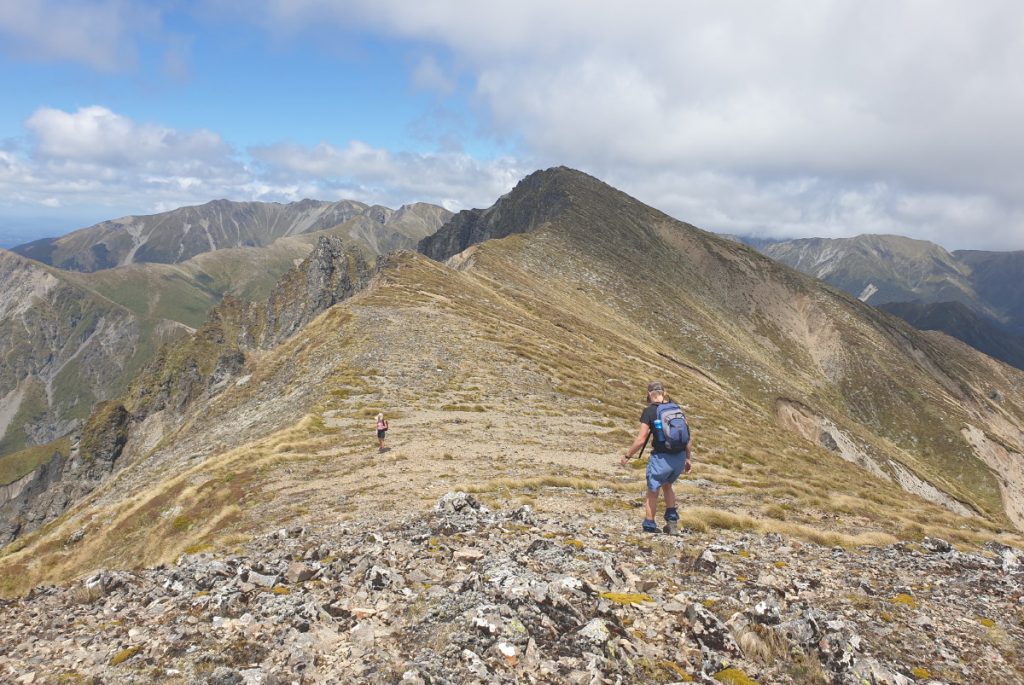
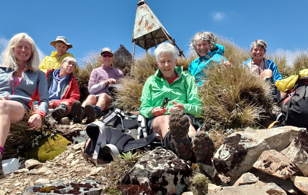
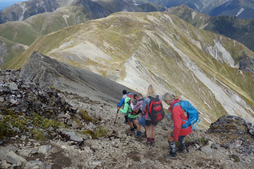
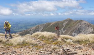
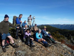
Turning south off-track for the route up to ‘66’, a foot trail is easily seen. The ridgeline up to Te Atuaoparapara (aka 66’) is gentle. We then hit the leatherwood and scrubby section, re-marking it with orange flagging tape along the way. A medical emergency occurred due to the sharp leatherwood, and plasters came out of packs. Once out of the leatherwood, it was easy going up to the knob just north of ‘66’. The wind was biting, so we donned light jackets. Then it was a lovely walk up to the trig which can be seen from quite a distance. We reached the trig at about 12.20 so the walk from Sunrise Hut had taken two hours. After the photo shoot, we had lunch, gazing at the 360 views. Te Atuaoparapara is 1687m and we could see across to Mangaweka 1731 (the highest point in the Ruahine Ranges) and to Hikurangi 1710, and we spied McKinnon Hut, just on the bushline to the north. Then it was time to move on and tackle the scree slope. Some loved it and ran down, but my knees just can’t seem to cope with the moving stones underfoot. Time for some Panadol. On reaching the tarns, we headed up to the hp1625 and collected our mail from the mailbox (well, it looked like one).We spotted the cairns which indicate the route down to Waipawa Saddle, with some more scree here and there. At last on the saddle, we could get out of the wind and head down to the river. Geoff and Juliet took the scree slope which cuts out a bit of the bush track, meeting up again at the point where the river route begins. Enormous amounts of scree have come down off the slips on the northern side, but further downriver we found the one major off-river route which I taped here and there.
There was a lot of boulder-hopping, until we reached the North Branch. From here, it is only 400m to the junction which we took back up to the saddle on the Sunrise Hut track.We were back at the vehicles at 4.30pm, feeling pretty chuffed that we had tackled and met the challenge. And tired… it had been an eight-hour day as predicted.
Well done to everyone; as for being ‘young guns’, you deserve the accolade.
PS: Well maybe not so young.
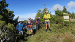
Trampers: Juliet Gillick, Di Reid, Alison Greer, Fiona Chiverrell, Geoff Donkin, Robyn Wolfsbauer, Gordon Tapp (to Sunrise Hut) and reporter Julia Mackie

Leave a Reply