Barlow Hut, Ruahine Forest Park, Wednesday 6 March 2024
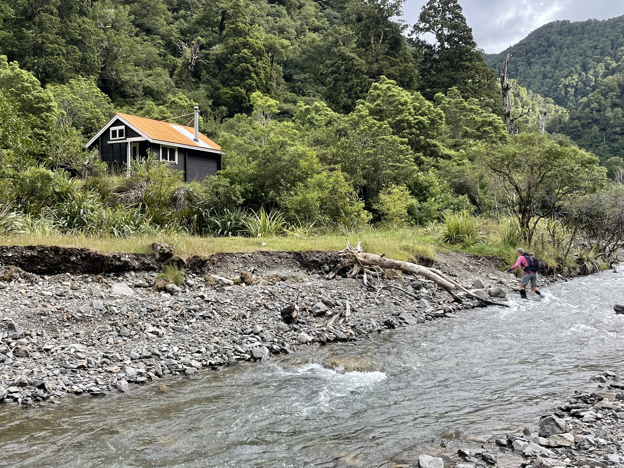
Banner Photo: Barlow Hut sitting above the Makaroro River
There were only three of us today: Di Reid, Elly Govers and your reporter, Gerard van de Ven. Elly and I left Napier at 7.20am to pick up Di from Maraekakaho. It promised to be a lovely day, after rain the previous days. Because we were going to go through the Makaroro River valley to get to Barlow Hut and back, we checked the river level and flow at https://www.hbrc.govt.nz/environment/river-levels/.
The flow at ‘Burnt Bridge’ was 2,600 l/s and that was the same as it had been before the rain of the last few days. With this, the river level did not get above roughly 400mm during our walk.

Many new slips along the river
It took us a while to find our way over the farm to where Gold Creek enters the Makaroro River and where we also wanted to start our river walk. But we got there. We decided that on the way back, we would follow the Gold Creek Ridge track and then take the shortcut over the farm back to the car.
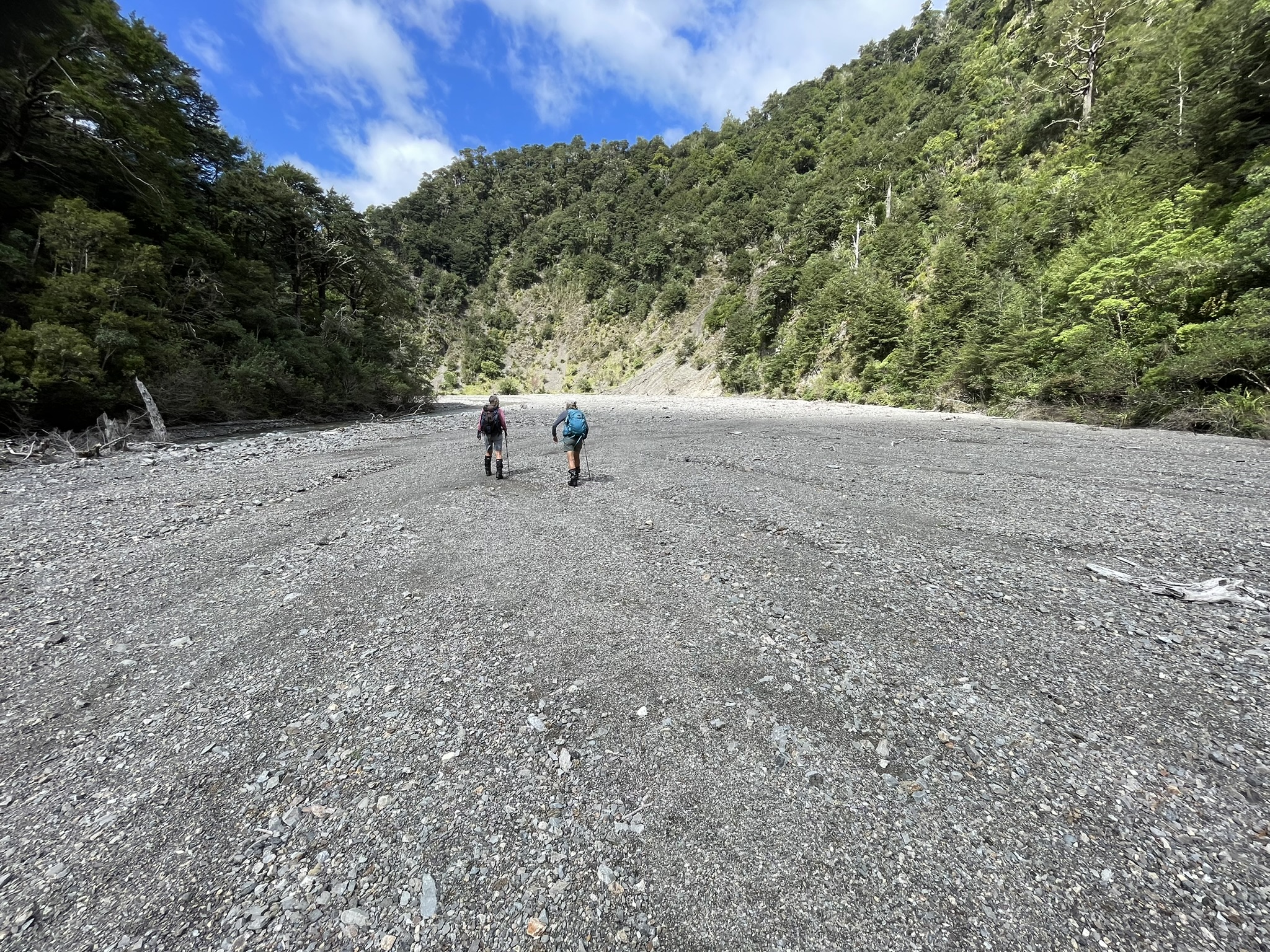
The easy gravel river bed walk
There was a set of slips on the sides, some of which looked fairly new.
The hut is located next to the river, and from the start of going into the valley to the hut took us 1h 20m. With our searching at the beginning to find the way through the farm, it took us 2h 30m in total walking time to reach the hut. We started walking at 8.45 and were at the hut at 11.30.
Barlow Hut is lovely. Built in 1983, it is one of the newest in the Ruahine Forest Park. It’s clad in interlocking planks, giving the impression of a log cabin. Opposite the hut, on the other side of the river, there is a huge slip. We don’t know if it was recent. It must have been quite a spectacle when it happened.
We had lunch at the hut and just after 12pm left to go back the same way. We counted 22 river crossings on the way back.
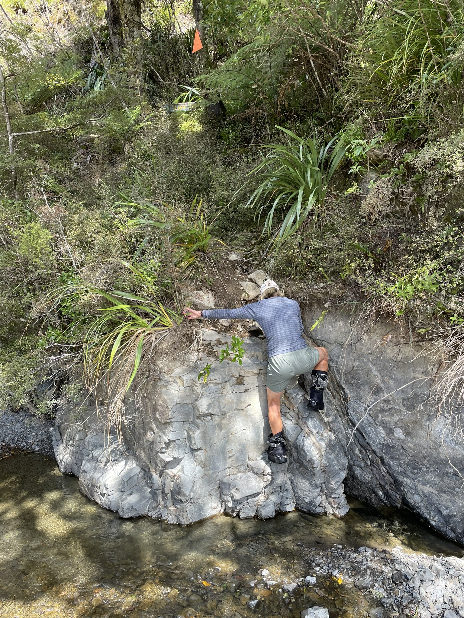
The clamber up to the start of Colenso Spur track and the memorial plaque
On reaching the Gold Greek side stream, we went up the ridge track, following the fence-line. Unfortunately we managed to lose the fence-line and stayed too low on the ridge, which meant that we later had to scramble back up the ridge to find the track again. It all went well though, and we also found the location where it is easy to enter this track coming from the farm side.
From there it was a light walk over the farm back to car, which we managed to do probably in the shortest way possible. We were back at the car at 2.45pm. It was a lovely walk, with great weather and great company.
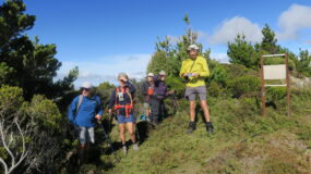
Trampers: Di Reid, Elly Govers and reporter Gerard van de Ven

Leave a Reply