Smith Stream, Ruahine Tops, Waikamaka Hut, Waipawa River, Sat-Mon 6-8 February 2021.
Maps: BL36 and BK36
Photos by Phil Enticott and Julia Mackie
The planned tramp was changed to make it easier for bodies that aren’t getting any younger. But it was still no walk in the park. It started at the Waipawa River car park, about 1.5km further on from the Sunrise car park. As it was only a short tramping day, we had set off from Napier half an hour later than our normal time of 7.00am.
The track proper starts at the bush edge after walking up a farm access track. The walk through regenerating bush crosses two streams, before reaching Middle Stream. All flow into the Waipawa River. On one of them, we saw the first deer of the tramp. It scampered up back into the bush.
The track has been recently cut; it’s great to see that tracks are still getting maintained. The final drop down into Middle Stream has always been tricky; in the past there has been a rope, but this seems to have gone. The kanuka stumps just above the track were a bit too far for some of us to reach, making the narrow ledge a difficult task to get down. The rope needs to be installed for safe assistance, and this will be reported to DoC.
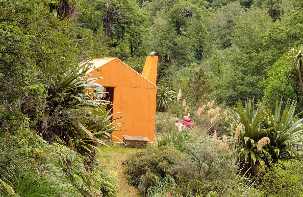
Smith Stream Hut is a heritage hut in the Ruahine Ranges
Then we faced the 400m climb up hp1104 followed by the descent into Smith Creek. It was easy to follow the stream down, reaching the climb out which heads above a slip and then back down again to Smith Stream Hut. Our time was 4hrs.
With the afternoon to fill in, three (Lynette, Juliet and Alison) decided to pitch their tents down below under some tree cover. We all wanted to get the info on Lynette’s new tent purchase, a One Planet, Goondie 1. She is very pleased with the headspace room, and we loved the bright green colour.
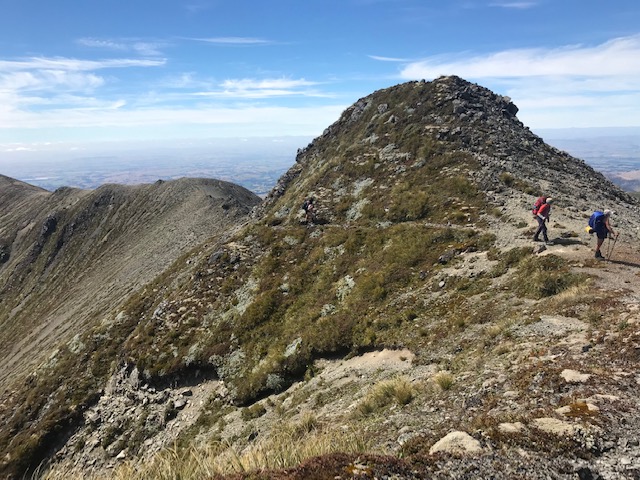
Heading up to South Rangi (A6G4)
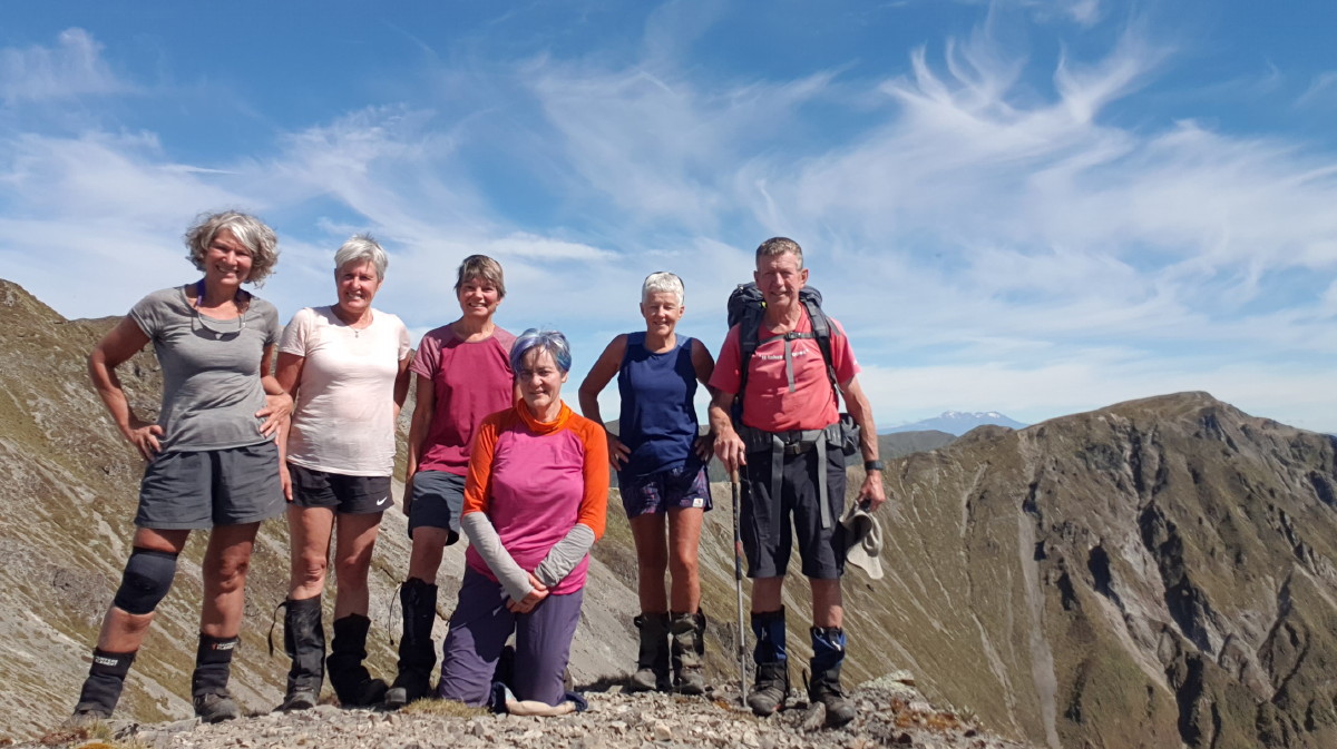
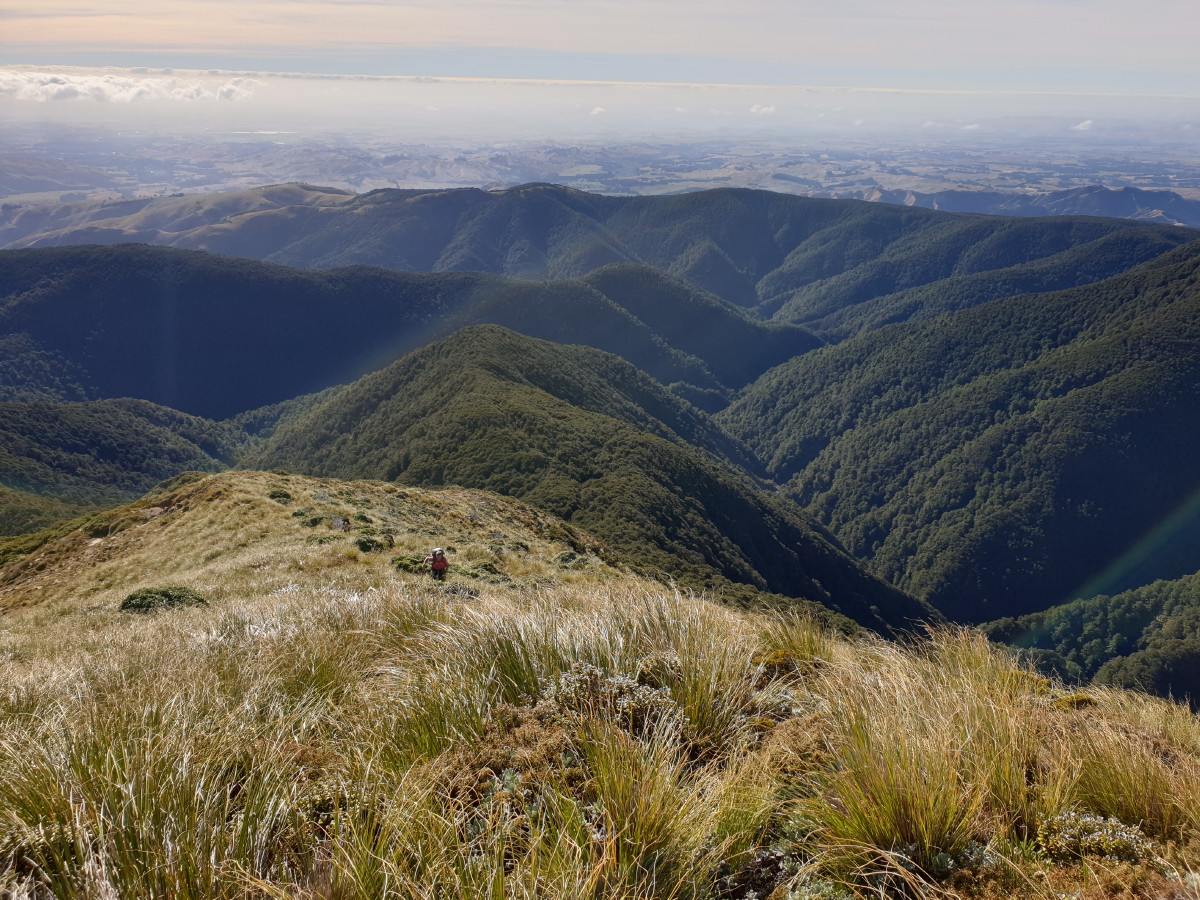
After a night in the hut, where I opted to put the mattress on the floor, Fiona and I left early to head up to the Ruahine Range tops. It was a climb from 855m to 1715m (860m), so we kept on going until we reached a knob above the bush line. A brew and a rest for the two bush dolphins. We then carried on to the waratah on the ridgeline, and took in the breath-taking views. The others had left half an hour behind us, and also made it in three hours. We still had the rocky section sidling along to A6G4 to go, but we took the group selfie with Rangioteatua in the background, and Mt Ruapehu in the far distance.
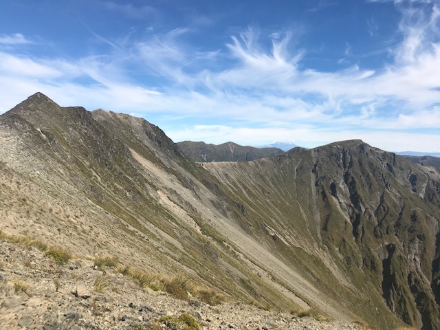
The sidle to A6G4 trig
On reaching A6G4 aka South Rangioteatua, the remnants of the trig are on the ground. From here, we decided to flag the drop into Rangi Creek, and head to Rangioteatua. We saw three more deer that scampered across our path. They moved fast once they heard us.
The sidle close up
We dropped our packs here to view the route down to Rangi Saddle. It looked OK but not for today. The next section heading to hp1635 involved dodging the Spaniards. They are nasty, thorny plants and there seemed to be a big patch of them here. The smaller ones can be trodden over, but when they get bigger, better to avoid.
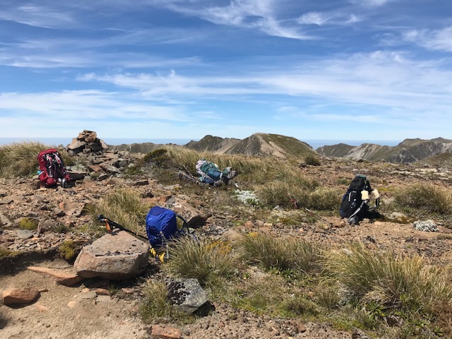
Rangioteatua marked by a cairn
The descent to Waipawa Saddle is on a well-worn foot trail, with some more scree just before reaching the saddle. We were getting desperate for some water on this warm day, with little breeze, and cloudless sky, but we knew we only had 40 minutes to Waikamaka Hut, via the stream. Arriving there at 3.00pm, we rested and washed in glorious sunshine.
The water basin on the verandah is a welcome addition. Noisy sleeper Phil was banned from the hut, and so my tent was put to use.
The walk out back up to Waipawa Saddle, and down the tricky bush section and then along the river on slip scree slopes, made our return journey less strenuous. We took the river route all the way, and it was easy going from the confluence of the Waipawa River North Branch, but it still took four hours to get back to our vehicles.
Waitangi weekend weather had been perfect for our tramp.
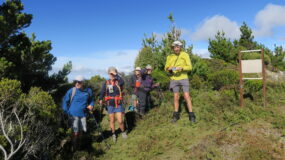
Trampers: Lynette Morgan, Fiona Bryant, Alison Greer, Juliet Gillick, Phil Enticott and reporter Julia Mackie

Love the photos guys. The clouds were amazing over the weekend.